
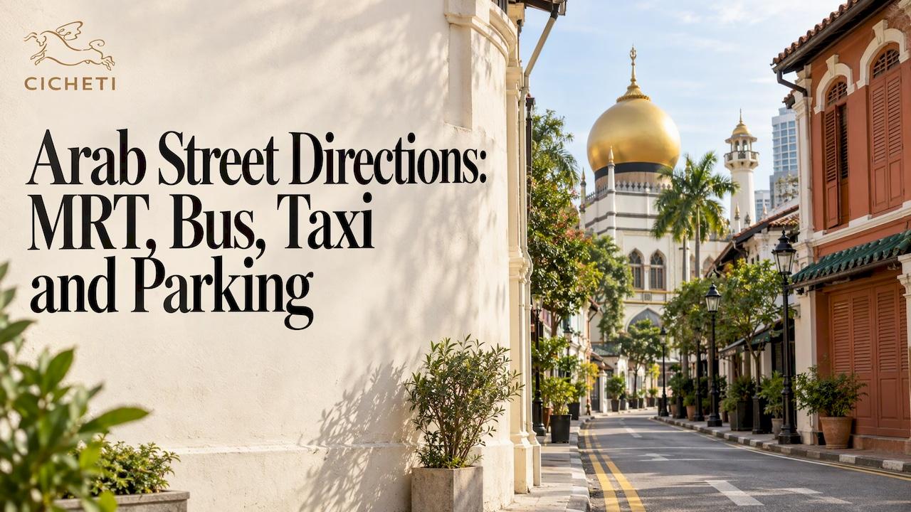
The quickest way to Arab Street is to take the MRT to Bugis (EW12/DT14), leave by Exit B and walk towards the golden dome of Sultan Mosque. It's a short stroll of around five minutes, and once the dome is in view you can simply follow it. This guide covers that route in detail, plus the other stations, the buses, taxis and car parks, and what you'll see on the street to know you've arrived. We'll also tell you how to carry on to dinner at Cicheti, our trattoria at 52 Kandahar Street, if the walk leaves you hungry.
TL;DR
- Nearest station: Bugis MRT (EW12/DT14), Exit B, on the East-West and Downtown lines. SBS Transit lists Arab Street, Haji Lane and Sultan Mosque among the places Exit B serves.
- Walking time: roughly five minutes from Exit B along Victoria Street, with Sultan Mosque as your marker.
- Other options: Lavender (EW11) and Nicoll Highway (CC5) are 10 to 12 minutes away on foot; buses stop on North Bridge Road, Victoria Street and Ophir Road.
- Driving: use the nearby car parks and set your navigation to a street address rather than just "Arab Street".
- Dinner afterwards: Cicheti is at 52 Kandahar Street, in the Arab quarter, with online table reservations.
Table of Contents
- Where Arab Street is, and what it's part of
- By MRT: Bugis is the station to use
- Other stations that work
- By bus
- By taxi or ride-hailing
- Driving and parking
- How you'll know you've arrived
- A simple route, start to finish
- Dinner on Kandahar Street
- Our view on visiting the Arab quarter
- FAQ
- Sources
Where Arab Street is, and what it's part of
Arab Street runs between Victoria Street and Beach Road, in the Kampong Glam area of Singapore's Central Region. The National Library Board places it within the Rochor Planning Area and notes that the 1822 town plan set the district aside for the Arab community. Kampong Glam is sometimes spelled Kampong Gelam, so you'll see both on signs and maps.
One thing worth knowing before you type anything into your phone: locals often use "Arab Street" for the whole neighbourhood, not just the one road. It commonly takes in Bussorah Street, Haji Lane, Bali Lane and Muscat Street, as Wikipedia's entry on the street describes. If you're meeting someone, agree on a specific shop, corner or street name. "Arab Street" alone can place you three lanes from each other.
The area was gazetted for conservation by the URA in 1989, and the National Heritage Board's trail brochure gives the boundaries as Ophir Road, Victoria Street, Jalan Sultan and Beach Road. That's useful as a mental frame: stay inside that rectangle and you're in Kampong Glam.
By MRT: Bugis is the station to use
Bugis is the nearest station, and it's served by two lines, the East-West line (EW12) and the Downtown line (DT14). That makes it an easy interchange from almost anywhere on the island. SBS Transit's station page lists Exit B as the one serving Arab Street, Haji Lane, Kampong Glam, the Malay Heritage Centre and Sultan Mosque. It also notes that Bugis has bus stops at Exits A, B, C and D, and lifts at Exits D and E serving the concourse to street level, which is worth remembering if you're travelling with a pram or a wheelchair.
The walk from Bugis Exit B
- Take Exit B and come up to street level. You'll be on the Victoria Street side.
- Head along Victoria Street in the direction of North Bridge Road. Visit Kampong Gelam's getting-here page describes this as the route that lands you near Sultan Mosque and Haji Lane.
- Look up. The mosque's golden dome is visible from most of the approaches and works as a fixed point for the whole walk.
- Turn into the lanes as you reach the mosque. Arab Street runs close by, with Bussorah Street leading straight towards the mosque's front.
The walk is short enough that you'll rarely need your phone after the first corner. It does cross a few busy junctions, so give yourself a little extra time at the lights if you're carrying shopping.
If you'd rather walk in from Bugis Junction
From Bugis Junction, the same source suggests walking down Victoria Street, turning left at Ophir Road and cutting through Haji Lane. It's the more scenic option, because Haji Lane is Singapore's narrowest street and lined with shopfronts, but it's slower if you're on a mission.

Other stations that work
If you're coming from the north or east, one of the neighbouring stations may suit you better than changing at Bugis. The walking times below come from Visit Kampong Gelam, and the distances for the other stations from a journey planner page. Treat all of them as approximate, because the exact figure depends on which part of Arab Street you're aiming for.
| Station | Line and code | Approximate walk |
|---|---|---|
| Bugis | East-West (EW12), Downtown (DT14) | About 5 minutes from Exit B |
| Lavender | East-West (EW11) | About 10 minutes, Exit A towards Victoria Street |
| Nicoll Highway | Circle (CC5) | About 12 minutes via Beach Road |
| Jalan Besar | Downtown (DT22) | Roughly 480 m |
| Rochor | Downtown (DT13) | Roughly 630 m |
For most people the extra distance isn't worth it. A change at Bugis usually costs less time than the longer walk, unless your line already stops at Lavender or Nicoll Highway.
Fares are modest: one neighbourhood guide notes that most rides cost S$1 to S$2. For the exact fare on your journey, use the fare calculator in your transit app, since fares are revised periodically.

By bus
Buses are a good choice if you're coming from a part of Singapore that the MRT reaches awkwardly. Visit Singapore's official Kampong Gelam precinct map, published in January 2023, lists three useful stops and the services that call at them:
- North Bridge Road, before Sultan Mosque (B01229): services 7, 32, 51, 61, 63, 63A, 80, 145, 175 and 197.
- Victoria Street at Stamford Primary School (B01121): services 2, 2A, 7, 12, 32, 33, 51, 61, 63, 80, 130, 133, 145, 175 and 197.
- Ophir Road at Landmark Village Hotel (B01559): services 12e, 48 and 57.
Service numbers get revised from time to time, so check the stop code in your bus app before you leave. The three stop codes above are the reliable bit: type one into the app and it'll show what's running.
Pick the stop by where you want to end up. North Bridge Road drops you almost at the mosque. Victoria Street puts you at the top end of Arab Street. Ophir Road is handiest if you're heading for Haji Lane first.
By taxi or ride-hailing
Taxis and ride-hailing cars can reach the streets around Arab Street, but the lanes themselves are narrow and parts of the neighbourhood are pedestrian-friendly rather than car-friendly. Set your drop-off to the street running past the mosque, such as North Bridge Road or Victoria Street, instead of the precise corner of Arab Street. You'll usually save a few minutes of circling, and the walk in is short. For the return trip, walk out to a larger road before you book, so your driver has somewhere easy to stop.
Driving and parking
If you're driving, aim for a car park and walk the last few minutes. Visit Kampong Gelam lists three nearby options: the multi-storey Aliwal Street car park (W462) near Aliwal Arts Centre, the open-air Bali Lane and Ophir Road car park (W463), which it recommends for Haji Lane and Arab Street access, and the multi-storey car park at Jalan Sultan Complex (W464).
We've written a separate guide to parking near Arab Street and Kampong Glam, which is worth a look if you're planning an evening visit when spaces tighten up.
If you're staying elsewhere in the city, say at a hotel in Novena such as Courtyard by Marriott Singapore Novena, work out your route from your nearest MRT station to Bugis first and then follow the walk above.
How you'll know you've arrived
The most obvious sign is the Sultan Mosque. Its present building dates from 1924, in what the URA's walkmap brochure calls an Islamic Saracenic style, and the dome sits above the rooftops. The same brochure explains that Arab, Bussorah, Muscat and Baghdad Streets were named after Arabian cities in the early 1910s, so if the street signs read like a map of the Gulf, you're in the right place.
Arab Street itself is still a working shopping street, with fabric and textile shops, carpets and rugs, perfumers and batik sellers. The Visit Singapore precinct map mentioned above names a few anchors you can use as markers: Dilip Textiles at 74 Arab Street, Haji Tawakal Trading at 54 Arab Street (carpets and rugs), Sifr Aromatics at 42 Arab Street, and Toko Aljunied at 91 Arab Street, which does batik and kebaya fittings. Street numbers in the 40s and 50s are closer to the Victoria Street end, which helps if you've come from Bugis.
Opening hours differ shop by shop, and the neighbourhood's prayer times can affect how busy the streets around the mosque are, so it's worth keeping your plans flexible around midday on Fridays.
A simple route, start to finish
For a first visit, this is the sequence we'd suggest to a friend:
- Take the MRT to Bugis and leave by Exit B.
- Walk down Victoria Street towards North Bridge Road until the dome comes into view.
- Wander Arab Street, then cut through Haji Lane or along Bussorah Street towards the mosque.
- Loop back through the lanes towards Kandahar Street for dinner.
Give yourself a couple of hours to browse before you eat. The street rewards slow walking, and nobody builds an appetite hurrying past a bolt of silk.
Dinner on Kandahar Street
Cicheti is at 52 Kandahar Street, in the Arab quarter. It's a trattoria built around wood-fired Neapolitan pizzas and Venetian-style small plates, cooked by an all-local kitchen team. The word cicheti itself refers to those small Venetian bites, and if you'd like to know what to expect on the table, our guide to Venetian food specialties and how to eat them explains the classics.
The wine list leans towards lesser-known Italian varietals. Our Sommelier Selection of the day runs from S$19 to S$90, which gives you a way into bottles you might not choose from a long list on your own. The room is rustic and intimate, with exposed texture and warm light, so it suits an unhurried evening after a walk through the lanes.
If you're arriving with a group, our family-style Italian dining guide shows how sharing menus work, and if it's a quieter evening for two, take a look at our Italian date night ideas. Not able to make the trip? We also offer delivery and takeaway orders for locals who'd prefer to eat at home.
For the festive season, we offer the Feast of the Seven Fishes at S$95 per person and the Cicheti Family-Style Menu at S$85 per person, both described on our festive feasts page. For the current menu, our dine-in menus have the details.

Book a table online at cicheti.com and we'll look forward to seeing you after your walk. Please check the website for current opening hours before you set off.
Our view on visiting the Arab quarter
Arab Street rewards people who arrive without a rigid plan. We've found that the best evenings start with a slow walk from Bugis, a detour through the lanes and an unhurried table at the end of it.
At Cicheti, our wood-fired oven does the heavy lifting on the Neapolitan pizzas, and the Venetian-style small plates are meant to be passed around the table. Our kitchen team is entirely local, and the cooking is regionally inspired rather than a greatest-hits list of Italian dishes.
Our wine list is chosen around lesser-known Italian varietals, because the conversation about a glass is half the pleasure of the evening. If you aren't sure where to start, the Sommelier Selection of the day is there for exactly that.
Walk in from Bugis Exit B, follow the dome, and come hungry.
Cicheti
FAQ
What is the nearest MRT station to Arab Street?
Bugis MRT (EW12/DT14) is the nearest, and Exit B is the one to use. The walk takes around five minutes along Victoria Street, and the Sultan Mosque dome is your landmark. Lavender and Nicoll Highway are slightly further on foot.
How do I get to Arab Street by MRT?
Travel to Bugis on the East-West or Downtown line, take Exit B and walk along Victoria Street towards North Bridge Road. You'll come out near Sultan Mosque and Haji Lane, with Arab Street a few steps beyond. If you're changing lines, allow a few extra minutes at the interchange.
Can I take a bus to Arab Street?
Yes. Official Visit Singapore precinct maps list stops on North Bridge Road, Victoria Street and Ophir Road, each a few minutes' walk from the street. Check the stop codes (B01229, B01121 and B01559) in your bus app for the services running that day.
Where can I park near Arab Street?
There are car parks at Aliwal Street, Bali Lane and Ophir Road, and Jalan Sultan Complex. The open-air Bali Lane and Ophir Road car park is the closest to Haji Lane and Arab Street. Our separate parking guide covers what to expect on busy evenings.
Is Cicheti close to Arab Street?
Cicheti is at 52 Kandahar Street, in the Arab quarter of Kampong Glam. Navigate to Bugis MRT first, then follow the walk above and continue into the neighbourhood. Booking a table online before you go means you can browse the street at your own pace.
Sources
- Arab Street, National Library Board
- Kampong Glam trail brochure, National Heritage Board
- Arab Street, Wikipedia
- Train Service Information, SBS Transit
- Getting Here, Visit Kampong Gelam
- Bugis MRT Station to Arab Street, Mynetbizz
- Singapore Neighbourhood by Neighbourhood, Breeze Singapore
- Kampong Gelam cultural precinct map, Visit Singapore
- Bugis walkmap brochure, URA